Section II of V
The Landscape
The Cherwell valley, the ironstone belt and the edge of the Cotswolds.
-
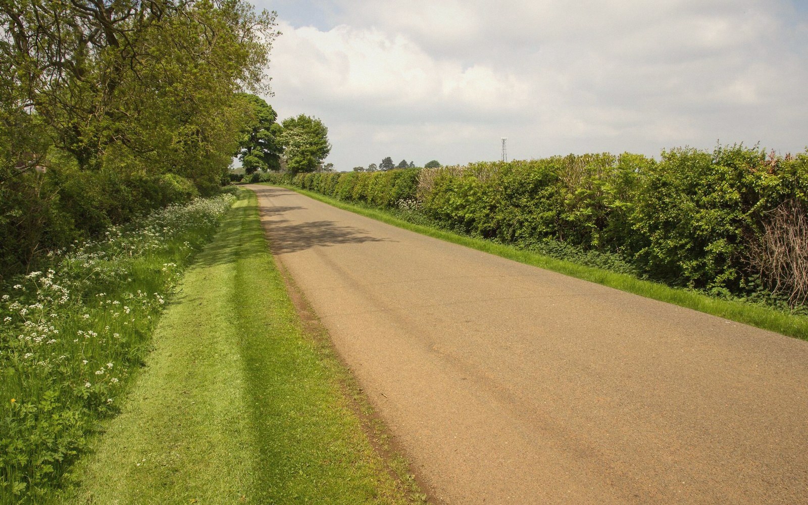 Plate II·1
The Ironstone Belt
The band of ferruginous limestone running through north Oxfordshire: how it was laid down, where it outcrops, and why it dictates the colour of every building above it.
-
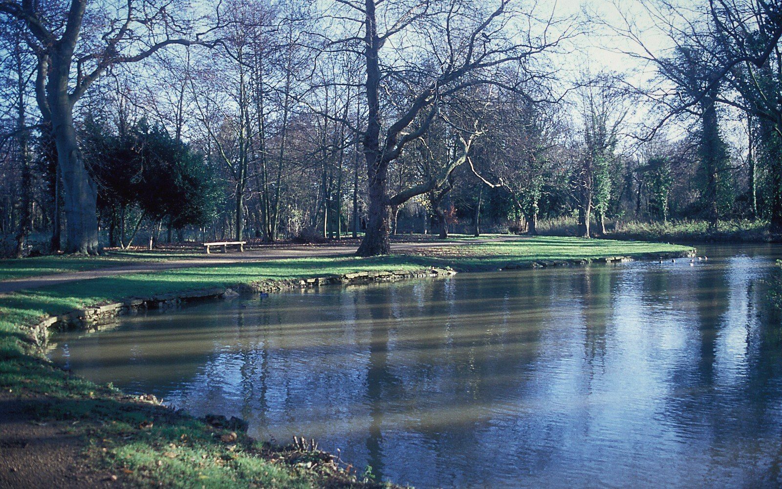 Plate II·2
The Cherwell Valley
The river that organises the district — its course, its floodplain, and why the canal, the road and the railway all chose the same line.
-
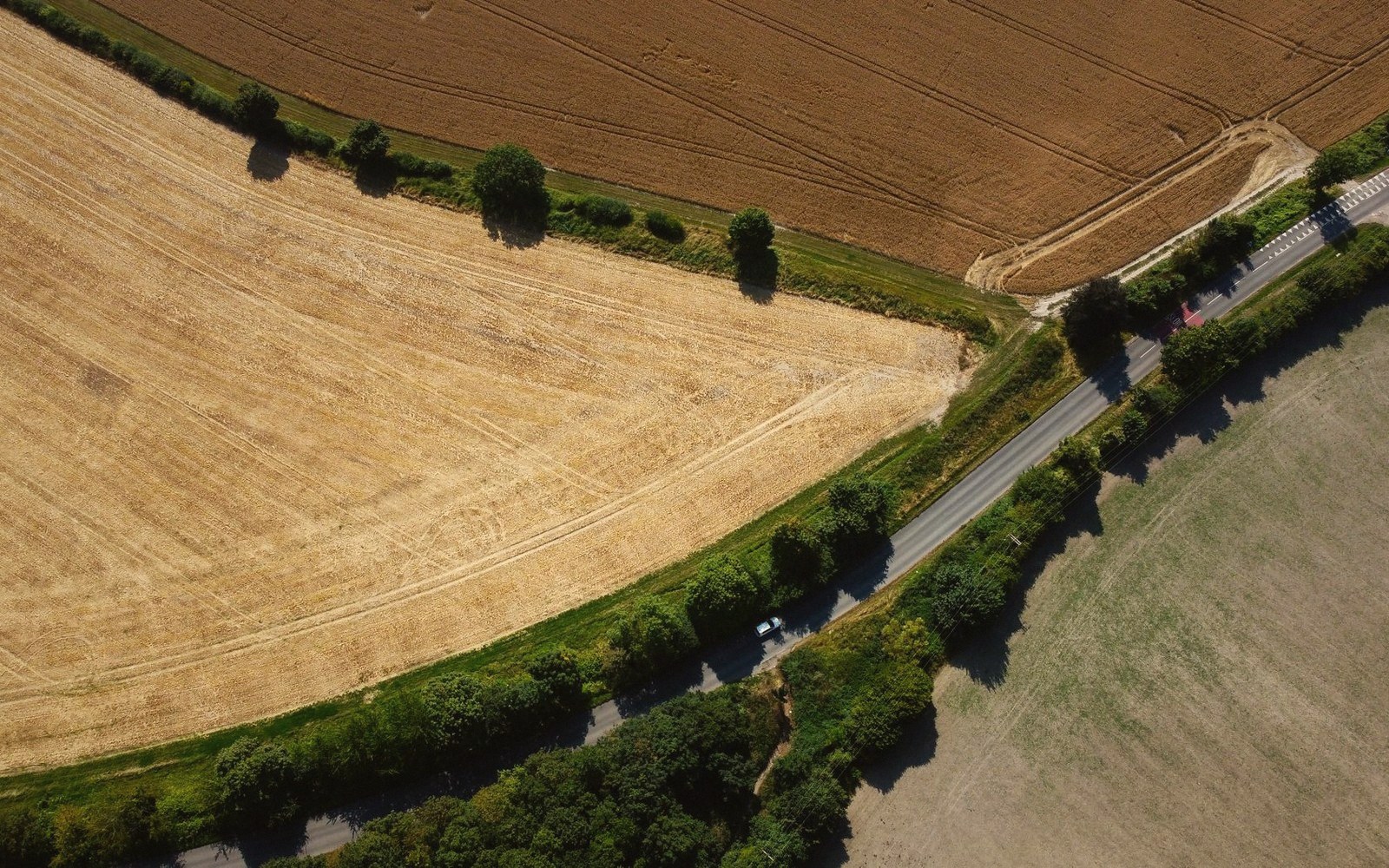 Plate II·3
Hedges Are a Legal Document
The field pattern as a record of enclosure: what a straight hedge means, what a wavy one means, and how to read the date of a landscape from its boundaries.
-
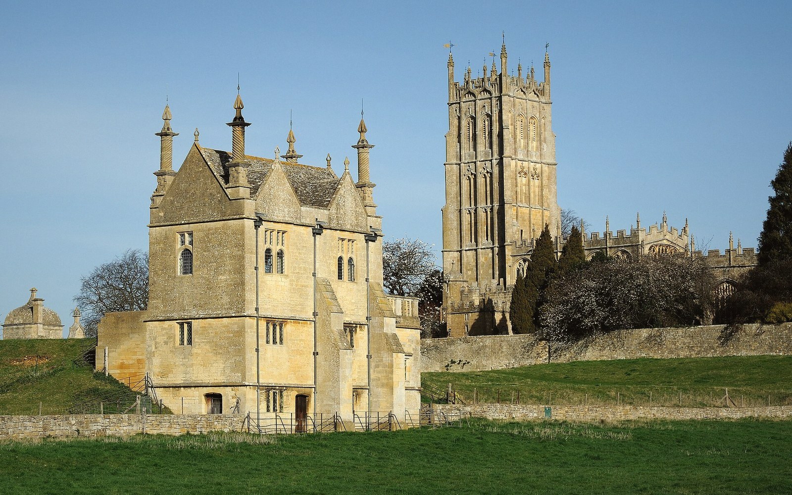 Plate II·4
Where the Cotswolds Stop
The transition from Cotswold oolite to north Oxfordshire ironstone, visible in the buildings within a few miles, and why the boundary is geological rather than administrative.