The Ironstone Belt
The band of ferruginous limestone running through north Oxfordshire: how it was laid down, where it outcrops, and why it dictates the colour of every building above it.
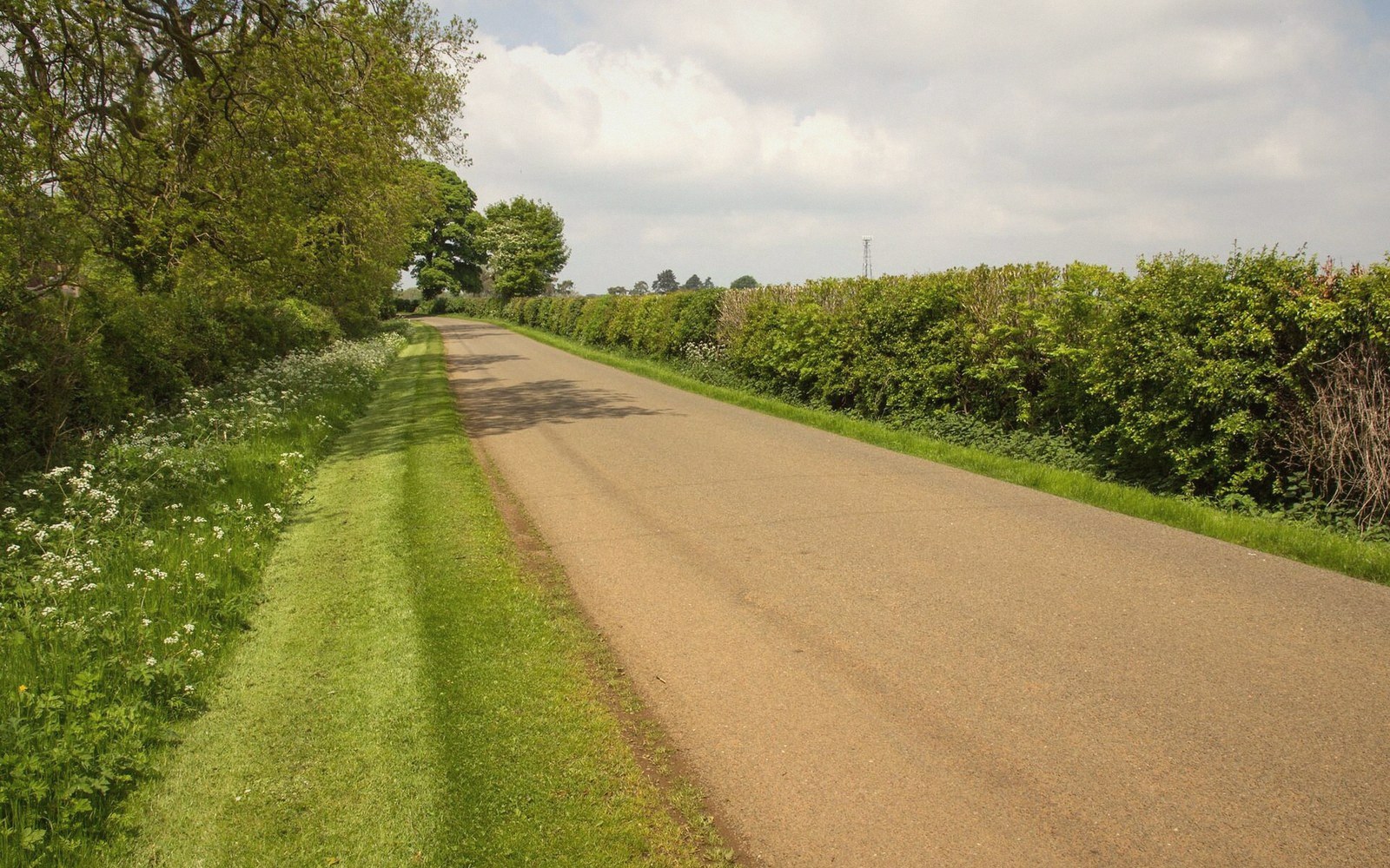
A seam that colours everything above it
The rust-brown, honey-gold buildings of north Oxfordshire are not accidental. They follow a band of rock that runs through the district on a broadly north-east to south-west line, dictating the appearance of every settlement that was founded before cheap transport made imported materials practical. That band is the marlstone, a ferruginous limestone deposited in a shallow Jurassic sea roughly 185 million years ago, and it is the most visible single fact about the north Oxfordshire landscape.
The story begins with iron. The marlstone — technically part of the Lower Jurassic sequence, lying just below the Inferior Oolite — is saturated with iron minerals, principally goethite and siderite, that give fresh-cut stone its characteristic pale green-grey colour. Once exposed to air and rain, oxidation turns it the warm rust-brown that is so familiar in this district. A freshly quarried block and a century-old wall are built from exactly the same material; only time and oxygen separate their colours. This is not a surface stain but a structural property of the rock — the iron is locked into the fabric of the stone itself, and the weathering runs deep.
Geologically, the marlstone sits within a layer known as the Marlstone Rock Formation, part of the Lower Jurassic Toarcian and Pliensbachian stages in the older literature, though geologists continue to refine the stratigraphy. In north Oxfordshire it forms a prominent escarpment — the Edge Hills in the north, blurring into the ironstone country around Banbury and continuing south-west toward the Cotswold fringe, where the geology transitions from iron-rich marlstone to the paler, whiter oolitic limestone of the classic Cotswolds. That transition is visible in the buildings: cross from north to south across the right road in this district and you can watch the walls change colour within a single mile.
Where the outcrop runs, and what grew on it
The ironstone belt is not a uniform stripe. It outcrops wherever the land has been eroded down to the relevant geological level, which in north Oxfordshire means on the middle slopes of valleys and along escarpment edges, while it dips below the surface in the valley floors and rises above it on higher ground. The River Cherwell and its tributaries have cut through the sequence repeatedly, exposing the ironstone on the valley sides and leaving it close enough to the surface for quarrying to be straightforward work with basic tools. This is why the settlements of this district — Deddington, Adderbury, Bloxham, King's Sutton, Wroxton, Hornton — cluster not on the valley floors but on the elevated ground where the stone was immediately available and the land was dry enough to build on without foundation difficulties.
Hornton, north-west of Banbury, gives its name to the finest-grained variety of the stone: Hornton Stone, a blue-grey to green-grey rock that quarrymen prized for carving as well as general building. The Hornton quarries were among the most significant in the district, and their product can be found not just in local buildings but in ecclesiastical and civic commissions far beyond Oxfordshire. The same stone builds the church towers that the old rhyme ranked — Bloxham, Adderbury, Kings Sutton — and their brownish exteriors are the long-term result of the same oxidation process that turns a green-grey quarry face into a rust-hued wall.
Banbury sits at the heart of the ironstone belt, and although the town centre has been substantially rebuilt in brick and concrete since the nineteenth century, its immediate hinterland — the villages within a ten-mile radius — preserves ironstone building in almost every street. The stone here is typically a little coarser and more variable than Hornton Stone, but it weathers to the same palette of ochre, burnt orange, and deep brown. Chipping Norton, on the higher ground to the south, lies near the geological boundary where the ironstone country gives way to Cotswold limestone, and the two traditions exist in visible tension in the buildings of the transitional villages.
The stone as building material and economic fact
Working ironstone was not straightforward. The marlstone is harder than chalk but softer than many limestones, and it can be friable — prone to spalling and surface decay, especially in exposed positions. Medieval builders learned to lay it in courses with the bedding plane horizontal, allowing the stone to bear weight as it was oriented in the ground. Stone laid the wrong way — 'face-bedded', with the laminations running vertically — decays much faster, and careful inspection of old walls will show patches of replacement where a Victorian repointing campaign failed to address the underlying problem of misoriented blocks.
Medieval builders learned to lay it in courses with the bedding plane horizontal, allowing the stone to bear weight as it was oriented in the ground.
For most of the medieval and post-medieval period, ironstone was quarried in small, local workings rather than large commercial enterprises. The typical north Oxfordshire quarry was a shallow pit or a series of trenches on the upslope side of a village, owned by the manor or the church and worked by the same men who farmed the surrounding fields. Stone moved on sledges or carts, but rarely more than a mile or two: the weight made long transport uneconomical before improved roads, and the Oxford Canal — built to move coal south and agricultural goods north — was not designed for stone traffic, which was too heavy and too low in value per ton to make the tolls worthwhile. The result is that every village in the ironstone belt effectively built itself from its own immediate geology, producing the consistency of appearance — the visual rhyme between neighbouring settlements — that strikes every observant visitor.
The economics changed when railways arrived in the mid-nineteenth century. Cheap Welsh slate began to replace the heavy, expensive local stone-slate roofs. Brick, transported in quantity for the first time, began to appear in extensions and outbuildings even on otherwise all-ironstone farms. Later in the century and into the twentieth, the ironstone of north Oxfordshire attracted a different kind of industrial attention altogether: the ore was thick enough and accessible enough to mine at scale for iron production. The open-cast iron-ore extraction that spread across Northamptonshire and into the Banbury area during the early and middle twentieth century is a darker chapter in the landscape history of the belt, leaving behind worked-out fields and disturbed ground that took decades to re-establish as agricultural land. The visual legacy of that extraction is largely invisible now, grassed over and ploughed back, but it explains certain otherwise puzzling contours on farmland north and east of Banbury.
What the belt means for a district's identity
The ironstone belt is not unique to north Oxfordshire — it continues north into Northamptonshire and Leicestershire, where similar stone produced similar villages — but the particular section running through this district has a coherence that is easy to take for granted and hard to explain without the geology. When a traveller notices that Deddington, Adderbury, Bloxham and a dozen other places all look as though they were built by the same hand, they are partly right: the same geological hand shaped every quarry from which every builder drew.
That coherence is also fragile. Twentieth-century infill and extension, often in brick or render, has introduced visual noise into villages that were previously almost monochromatic in their stonework. Ironstone is no longer quarried at anything like its former extent, and authentic repair — laying new stone in the same manner, from the same formation — requires both sourcing and craft skill that are harder and more expensive to secure than they were a generation ago. Planning policy attempts to protect the character of the ironstone villages, but the fundamental challenge is not bureaucratic but geological: the material itself is finite, the accessible working faces are limited, and the tradition of reading the local rock and building from it takes time to learn and longer to learn well.
The belt will not change. The Jurassic sea that deposited it is not going anywhere, and the slow reddening of iron in air will continue for as long as stone is exposed. What changes is the human capacity to understand what the landscape is made of and to make use of it honestly — which is, in the end, what the best buildings in every ironstone village demonstrate, without making any particular claim about it.