The Cherwell Valley
The same corridor, chosen four times: why a modest Midlands river ended up carrying a canal, a main road, a railway and the logic of the whole district.
A River That Does the Work Quietly
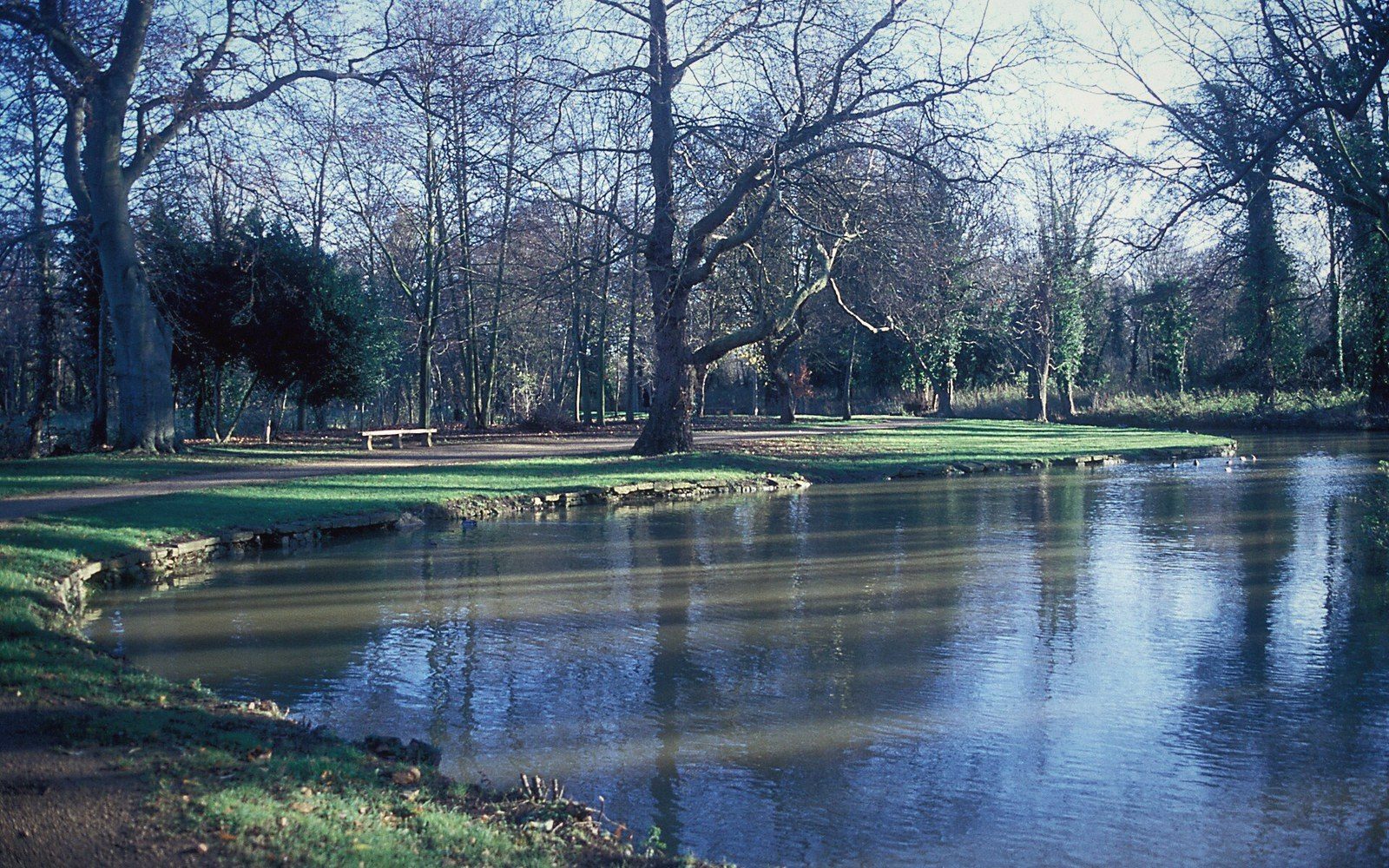
The Cherwell is not a dramatic river. It does not cut gorges or fall over cataracts. What it does, over roughly forty miles from its source near Charwelton in Northamptonshire to its junction with the Thames at Oxford, is carve a shallow, reliable lowland corridor through country that would otherwise resist movement. The valley is wide enough to walk and narrow enough to follow, floored with alluvial clay that stays wet in winter and green through summer. It is the spine of north Oxfordshire, and almost everything that has happened here in the last two centuries happened because of it.
The river enters Oxfordshire south of Mollington and picks up pace as it approaches Banbury, where the town long used it for milling and, later, for industry. Below Banbury the valley opens out, the floodplain broad enough in places that the river can swing across it in wide meanders, leaving oxbow ghosts in the fields on either side. South of King's Sutton the valley narrows slightly, the land rises on both flanks, and the river commits to a southerly line that it keeps, more or less, all the way to Aynho and beyond. By the time it reaches Heyford and Somerton it is threading between low bluffs of ironstone and limestone, the kind of terrain that made medieval builders rich and canal engineers relieved.
Why Four Routes Share One Valley
A valley floor does something that no amount of engineering fully replaces: it provides a gradient that is already gentle, ground that is already level, and a line of least resistance that costs nothing to discover because the river has spent millennia finding it. This is why the Oxford Canal, surveyed by James Brindley and opened in stages in the 1770s and 1780s, follows the Cherwell so closely through north Oxfordshire that canal and river at times share the same water. The canal is a contour canal — it holds its level by curving along the hillsides rather than cutting through them — and the route it takes is, in several stretches south of Banbury, essentially the Cherwell's own logic translated into an engineered channel.
The road that became the A423 and later the A4260 took the same course for the same reasons. Roman engineers knew it before any of them: the road from Banbury south toward Aynho and the Cherwell Gap follows an alignment that has been in use, in one form or another, since well before the canal surveyors arrived with their levelling instruments. When the Great Western Railway's predecessor pushed its line through in 1852, it simply confirmed what every previous transport scheme had worked out: the Cherwell valley is the only sensible route between Birmingham and Oxford, and Oxford is the gateway to London.
The result is that in places you can stand on the valley floor and see canal towpath, river bank, main road and railway within a few hundred metres of each other, all of them in service, all of them there for the same geological reason. It is one of the more concentrated lessons in landscape history that north Oxfordshire offers.
It is one of the more concentrated lessons in landscape history that north Oxfordshire offers.
- Medieval roadsvalley used for movement before engineered infrastructure
- Oxford Canalsurveyed by James Brindley; opened in stages 1770s–1780s
- Railway through the valley1852 (Great Western Railway predecessor)
What the Floodplain Still Tells You
The floodplain itself is not empty. The Cherwell floods regularly, and the low-lying fields — water meadows in their older form, rough grazing today — bear the marks of it. Ridge-and-furrow survives in some of the wetter pastures because ploughing stopped when the land became too wet to cultivate profitably, and what would elsewhere have been erased by continued agriculture has instead been preserved by inundation and grass. The slight corrugations, running at right angles to the river, are a record of medieval strip farming that the Cherwell's own unruliness has conserved.
Villages in the valley rarely sit on the floodplain itself. Aynho is on rising ground above it; Lower Heyford pushes back from the bank; Somerton is set on a low ironstone spur. The pattern repeats throughout: settlement gravitating toward the valley for water and communication, but careful always to stay above the flood line. The field names in the older maps tell the same story — moor, marsh, holm — wherever the river was accustomed to spreading.
The Cherwell, then, is not a backdrop. It is the reason the district is arranged the way it is: why Banbury grew where it did, why the canal went where it went, why the railway followed, and why the villages stand where they stand relative to all of them. To walk the valley is to walk inside a piece of reasoning that the land itself performed, slowly, over a long time, and that every subsequent human decision has simply confirmed.