The Canal Takes the Long Way on Purpose
A contour canal follows the land rather than cutting through it, which is why the Oxford Canal wanders. The engineering logic, the cost trade-off, and the later straightening of the northern section.
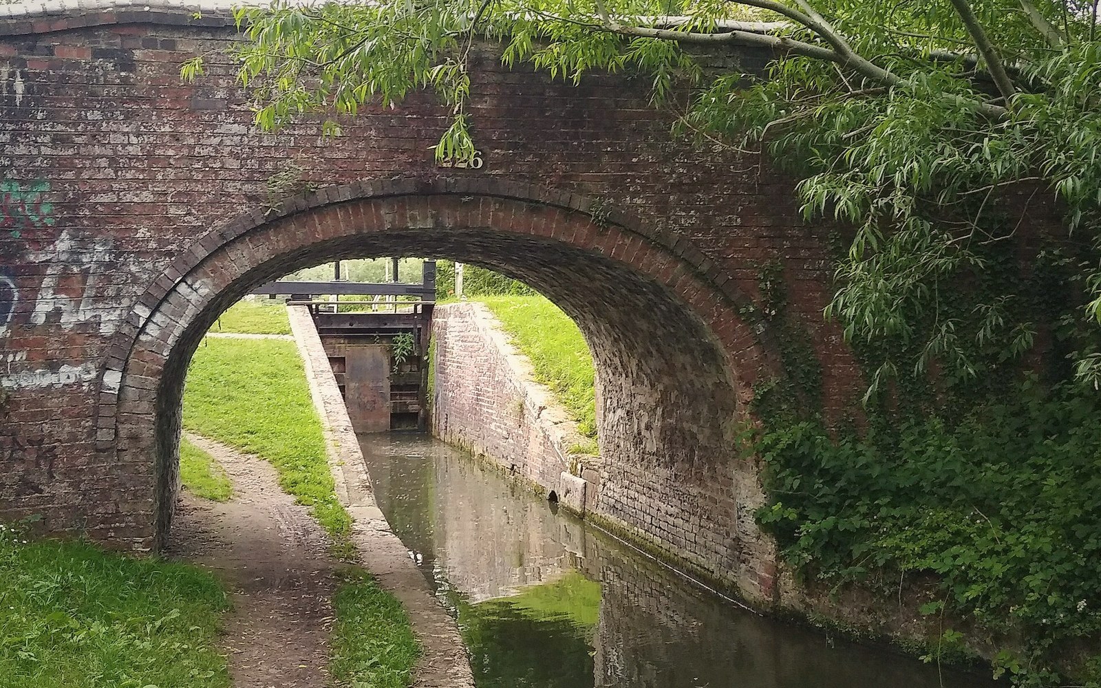
A canal that bends is not a canal that got lost
The Oxford Canal between Hawkesbury Junction, near Coventry, and Oxford meanders in a way that confuses anyone who has traced its route on a map for the first time. It does not follow the Cherwell valley in the direct sense that a road follows it. It loops around hillsides, doubles back on itself, and takes three miles to cover what the crow manages in one. This is not a failure of planning. It is the plan.
The canal is what engineers call a contour canal: a waterway designed to follow a single height above sea level rather than punch through the landscape to reach it. The logic is hydraulic. A canal is a long, narrow pond. It must stay level between locks, and every lock — a chamber with gates at each end — costs money to build, costs time to pass through, and costs water every time it is used. Water is not free on a summit canal: whatever falls through a lock going downhill is lost to the lower level, and it must be replaced from a reservoir or a feeder stream. A contour canal avoids all of this by declining to go up or down in the first place.
The alternative — cutting straight across the grain of the land — demands embankments across valleys, cuttings through hills, and, in serious terrain, tunnels and aqueducts. These are expensive engineering works, and in the 1760s and 1770s, when the Oxford Canal was being designed, they were also risky ones. Contractors had built very few of them. The Oxford's engineer, James Brindley, was a largely self-taught genius who trusted contour working above all other methods, partly because it was cheaper and partly because it worked. A canal that stayed at one level and never challenged geology was a canal that could actually be built, in time and on something resembling a budget.
How the Oxford came to be drawn as it is
The Oxford Canal Act passed in 1769, and Brindley set to work on what was, even then, a long and winding proposition. He died in 1772 before the canal reached Banbury, and the work passed to his assistant Samuel Simcock and later other engineers, but the character of the route was already fixed. The canal reached Banbury in 1778 and Oxford in 1790 — a twenty-year construction programme that gives a sense of the scale of the undertaking.
The northern section, from Hawkesbury down toward Napton, is where the contour method is most extravagant and most visible. The canal here wraps around the Warwickshire hills in long, sweeping curves that can take a boat forty minutes to navigate what a footpath crosses in ten. Every bend is a contour being followed: the channel hugs the hillside at a constant level, finding its way around each promontory rather than through it. The result on the map looks almost organic, as if the canal grew rather than was dug — which, in a sense, is precisely what Brindley intended.
South of Napton the country opens out, the Cherwell valley takes over, and the canal's behaviour changes. The river valley provides a natural corridor that the canal can use without extravagant looping, and the line becomes more coherent, though it still strays from the obvious straight whenever a hillside pushes it sideways. By the time it reaches the Cherwell valley proper, south of Cropredy, the canal and the river are companions in the same flat-bottomed trench, and the meandering is the river's doing as much as the engineer's.
The straightening and what it tells you
The story does not end with construction. In the 1820s, the Oxford Canal Company decided to do something that might seem to contradict everything Brindley had built: they paid to straighten the northern section. Between 1829 and 1834, the northern improvements were carried out under the supervision of the company's own engineers, cutting off the most extreme loops with new, direct channels, and abandoning the old meanders in place.
In the 1820s, the Oxford Canal Company decided to do something that might seem to contradict everything Brindley had built: they paid to straighten the northern section.
Those abandoned loops are still there. Walk the northern section of the Oxford Canal today and you will find long, thin lakes lying beside the current channel — former lengths of canal that were bypassed when the line was straightened. They still hold water because the clay that lined them still holds. They have become wildlife habitats, odd vestigial watercourses that make no topographic sense until you understand what they were. The straightening reduced the distance of the northern section by several miles, cut journey times, and made the Oxford Canal more competitive at exactly the moment it most needed to be: the railway era was approaching, and speed of transit was beginning to matter in a way it never quite had before.
The decision to straighten reveals the commercial pressure the canal was under. For its first few decades, the Oxford Canal was extraordinarily profitable: it was the only route by which coal from the Warwickshire and Midlands coalfields could reach Oxford and the south, and what the canal was built to move was in essentially constant demand. The contour route, with all its extra mileage, translated directly into extra toll income: every extra mile a boat travelled on your water was a mile you could charge for. A wandering canal is not only cheap to build; it is, in a monopoly position, a useful instrument for extracting revenue.
Once competition appeared — first from the Grand Junction Canal's more direct connections, then from the prospect of railways — the calculus reversed. Extra mileage was now a liability, adding time without adding income. The straightening was the company's acknowledgement that the world had changed. It did not change the canal's fundamental southern character, which remained contour-governed, but it modernised the section where the loops had been most absurd.
What you see when you walk beside it
Understanding the engineering changes how the canal looks. The bends are not decorative; they are functional traces of a landscape decision made under cost constraint. Where the canal curves around a hillside, the inside of the bend is usually higher ground — the spur that the canal was skirting. Where it runs dead straight for half a mile through flat country, you are on a nineteenth-century improvement, a channel dug to replace a loop that made commercial sense only when the company had no competition.
The water itself is the same as it was the day each section was filled: it came from feeder streams and reservoirs, and it stays because the channel is puddled with clay, compacted to a near-impermeable lining by a method as old as the canal itself. The towpath on the bank — typically on the same side for long stretches, then switching at a bridge — is where the horse walked, and the horse's pace is more or less the pace the canal still sets. It was never fast. It was always thorough. And it took exactly the route the money demanded.